

Mississippi Dialogues: Ḣaḣa Wakpa, Nįį Xete, Nyitanga
Mississippi Dialogues: Ḣaḣa Wakpa, Nįį Xete, Nyitanga
Margaret Pearce
Margaret Pearce
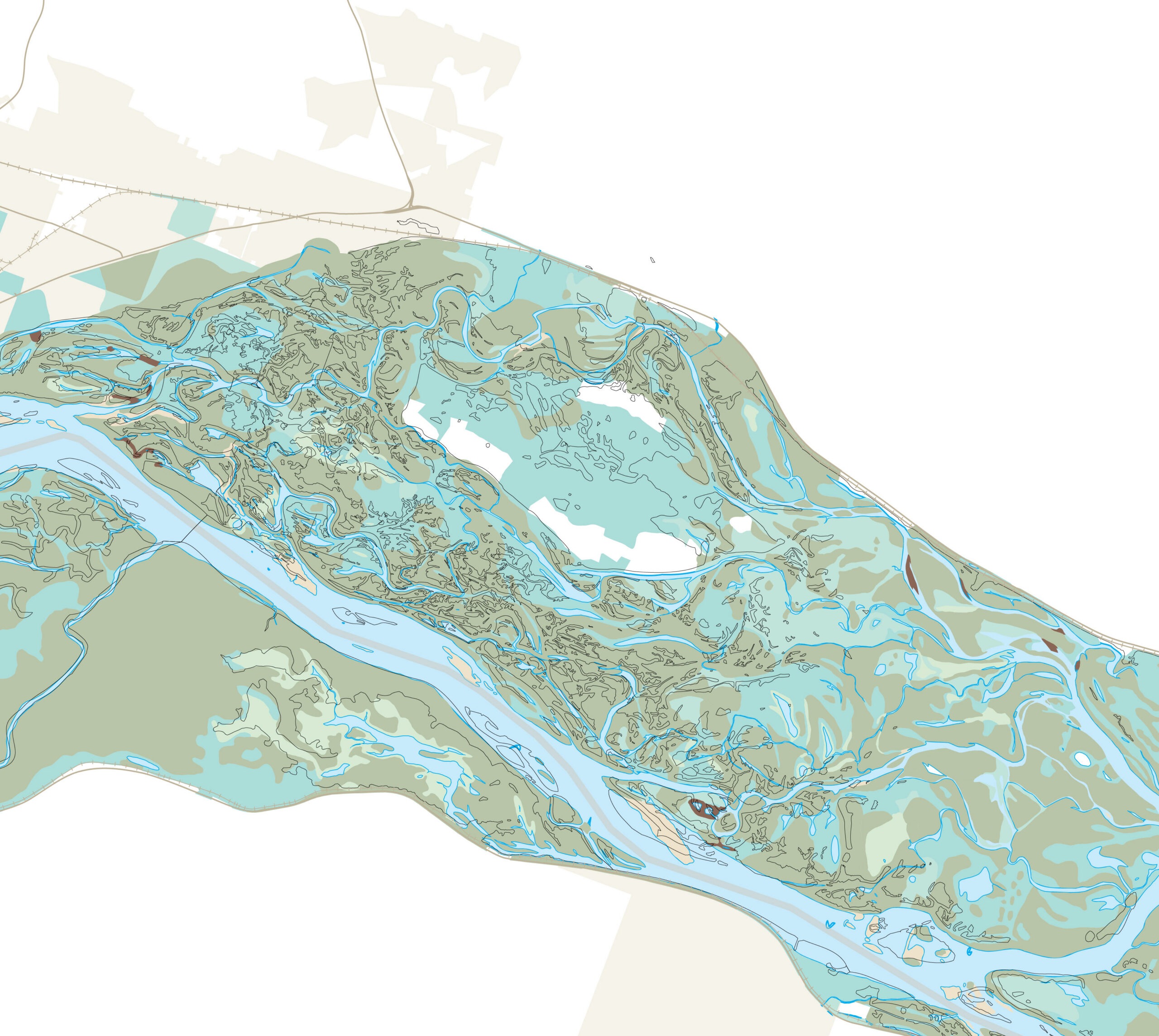
Mississippi Dialogues is a cartographic intervention to Indigenize public dialogue about Mississippi River flood management. The purpose is to move away from settler assumptions of control over the River and towards Indigenous assumptions of relationship with the River, through a River map narrative transformed by Indigenous assumptions about time, space, and the more-than-human. The end result is two 5′ x 15′ panels depicting the River between the confluence with the St. Croix River on the north, and Galena, Illinois, on the south, to be installed in freely accessible, public parks along the River, in summer and fall of 2026, with a guidebook and public programs.
This stretch of the River takes in multiple Indigenous homelands. For Báxoje, they are Nyitanga, Great River. Bdewakantunwan know them as Ḣaḣa Wakpa, River of the Falls. For Hoocąk, they are Nįį Xete, Big River. For millennia, each Nation has remained spiritually connected to the River through ways of living with and caretaking, including thousands of years of knowledge and experience with how to live in relationship with flooding. These Indigenized Mississippis are largely unknown to the non-Native public. Yet they are essential to public imagination regarding what is possible for life with flooding.
The project is a collaboration with Ho-Chunk Nation CRD, Prairie Island Indian Community THPO, and Iowa Tribe of Kansas and Nebraska, with project facilitation from the Anderson Center in Red Wing, MN. We are guided by Indigenous data sovereignty standards and Indigenous methodologies. Throughout 2025, we have been gathering, documenting, and archiving stories and testimonies about living in relationship with water and flooding, traditional place names, and Indigenous accounts of federal flood control projects. The research will comprise an archive for each THPO, documenting their River experience and knowledge for their own people. Each THPO office will then make selections from those investigations that are appropriate for public sharing. It is these selections that will form the narratives of the cartographic design panels.
I will re-shape the River by reconnecting place knowledge from the public selections with the old form of the River as recorded by the Mississippi River Commision prior to erasure by twentieth century flood control projects. Into that Indigenized river, I will weave public testimonites about flooding. The purpose is to bring Indigenous and settler assumptions about flooding into dialogue with one another. By early 2026, preliminary drafts of both panels will be ready for revisions. Together with project partners, I will compose narratives for an accompanying guidebook. In spring we will fabricate the panel structures, print the map narratives, work with an artist from each Tribe to design the panel backs, and hire a website designer to build a site to house our project. In September, the upriver panel will be installed at Bay Point Park in Red Wing, and in October, the downriver panel will be installed at Casper Bluff Nature Preserve. We will welcome the public in with public programs designed to mirror Indigenous pedagogies, on site at the panels and by the River.
Public Art, Visual Arts
2026
About Margaret Pearce
Rockland, ME
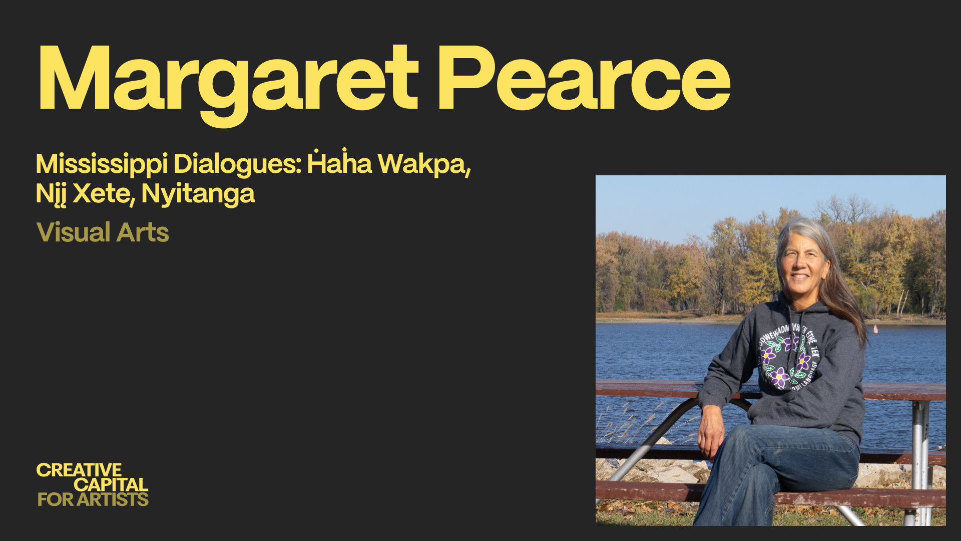
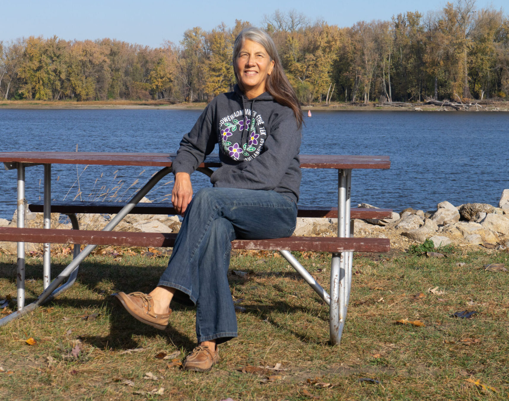 Mkoskwe nde zhnëkas, zhishibéniyêk ndebéndagwes. I’m Margaret Pearce, a cartographer and Citizen Potawatomi tribal member. I grew up on Seneca territory at Ga’shgöhsagöh, At the waterfall (Rochester, NY) and now live on Penobscot traditional territory at ketewamteg, Great landing place (Rockland, ME). I hold a Ph.D. in geography and served as a university professor for 15 years. Ten years ago, I broke away to dedicate myself fully to cartographic language. I see cartography as a form of writing with the capacity to shape ideas and dialogue in ways that are entirely unique and powerful. That is the way I experience it. The feeling has only grown stronger over the years. My intention is to expand this form as far as I can in my lifetime. I’m the recipient of a 2024 Stanley Brunn Award, 2023 Guggenheim Fellowship, 2022 National Geographic Wayfinder Award, 2012 Ann Ray Fellowship at the School for Advanced Research, and 2012 ACLS Fellowship. My work has been supported by Trinity Square Video, Yaddo, Art Omi, A Studio in the Woods, the Anderson Center, and the New Orleans Center for the Gulf South. My work is in the collections of people’s houses and glove compartments.
Mkoskwe nde zhnëkas, zhishibéniyêk ndebéndagwes. I’m Margaret Pearce, a cartographer and Citizen Potawatomi tribal member. I grew up on Seneca territory at Ga’shgöhsagöh, At the waterfall (Rochester, NY) and now live on Penobscot traditional territory at ketewamteg, Great landing place (Rockland, ME). I hold a Ph.D. in geography and served as a university professor for 15 years. Ten years ago, I broke away to dedicate myself fully to cartographic language. I see cartography as a form of writing with the capacity to shape ideas and dialogue in ways that are entirely unique and powerful. That is the way I experience it. The feeling has only grown stronger over the years. My intention is to expand this form as far as I can in my lifetime. I’m the recipient of a 2024 Stanley Brunn Award, 2023 Guggenheim Fellowship, 2022 National Geographic Wayfinder Award, 2012 Ann Ray Fellowship at the School for Advanced Research, and 2012 ACLS Fellowship. My work has been supported by Trinity Square Video, Yaddo, Art Omi, A Studio in the Woods, the Anderson Center, and the New Orleans Center for the Gulf South. My work is in the collections of people’s houses and glove compartments.